
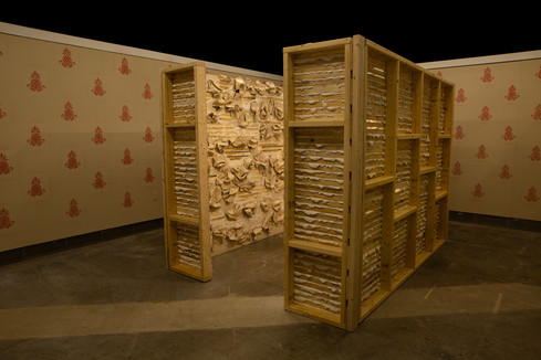
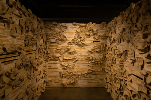
Holey and Rotten
B Pearsall, Penny W. Stamps School of Art & Design
Harland Bartholomew’s maps are becoming increasingly well known, but my family’s property records provide detailed documentation on what his maps identified when communities were labeled as “blighted.” For each property, an appraisal document contains the address, photographs of the house, the amount paid for the property in the early 1900s and its value in the 1960s, the renter, the price of the rent, and the condition of the house. The state of the property is described in code: labeling each house as S (Sound), M (Marginal), or C (Critical). These documents note whether the properties have electricity, indoor or outdoor toilets, and if there is an indoor tap. The appraisals conclude with shorthand notes about the deteriorating conditions: “plaster spots bad downstairs,” “big hole in kitchen floor,” and “holey and rotten.” This archive is a unique example of racialization in architecture and urban planning, making obvious the role white property ownership played in creating, and maintaining, slum properties.
Holey and Rotten will culminate in an educational website that considers the role of archives in determining which histories are preserved for the future. What does it mean to possess this archive and its histories? What is the relationship between white property ownership and neglect? Using my particular connection to this past as an opportunity to consider new forms of reparative work, I propose an alternative to archival possession and exclusion by making this research easily understood and available for use through digitization and GIS software mapping, creating an online story map for research and instruction. A historic map of Richmond in the 1960s will provide accurate coordinates of the houses found in the archive. Maps of neighborhood urban renewal and redevelopment plans will overlay this initial map to reveal the “blighted areas.” A current map locating where the properties would have been will show that many of these neighborhoods have been razed, often to make room for a highway. These mappings will highlight the physical shifts in Richmond’s street grids and neighborhood composition, while the archival research will provide a context and reveal the motives behind the city’s restructuring, showcasing the connection between white property ownership in predominantly black communities and slum clearance.